UN
1 Low Water
£ 210,000
Description
We don't have a Description for this property.
- Bedrooms
- 5
- Bathrooms
- 0
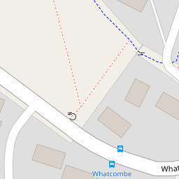
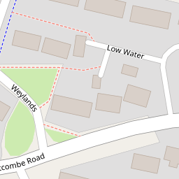

Leaflet © OpenStreetMap contributors
The heatmap indicates the level of crime in the area. The color of the heatmap indicates the crime severity and recency.
Metrics Year-on-Year
- Average area value
- 305,948.00 £Decreased by 6.85 %
- Average area rental value
- 1,043.00 £/moDecreased by 5.53 %
- Est rental Yield
- 4.09 %Increased by 1.49 %
- Crime Rate
- 10.00 %Unchanged by 0.00 %
from 328,448.00 £
from 1,104.00 £/mo
from 4.03 %
from 10.00 %
Nearby Schools
| Name | Type | Ofsted | Distance |
|---|---|---|---|
| Vallis First School | Community School | Good | 0.49 KM |
| St Louis Catholic Primary School, Frome | Voluntary Aided School | Good | 0.53 KM |
| Wessex Lodge School | Other Independent Special School | Good | 0.64 KM |
| Avanti Park School | Free Schools | 0.91 KM | |
| Oakfield Academy | Academy Converter | Requires improvement | 1.21 KM |
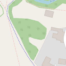
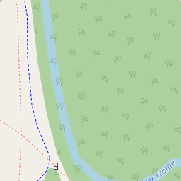
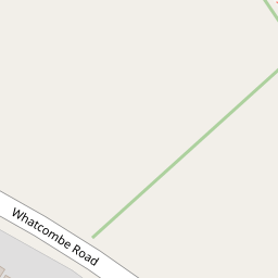
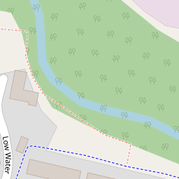
Images
Nearby Streets
| Name | Average Price | Average Sqft | Distance |
|---|---|---|---|
| Valley View | £ 319,975 | 0 | 0.00 KM |
| Dyers' Close Lane | £ 0 | 0 | 0.00 KM |
| Morgan's Lane | £ 0 | 0 | 0.00 KM |
| High Street | £ 200,000 | 0 | 0.00 KM |
| Sheppard's Barton | £ 0 | 0 | 0.00 KM |
Nearby Transport
| Name | NLC | TLC | Distance |
|---|---|---|---|
| Frome | 5707 | FRO | 2.23 KM |
Nearby Listings
| Address | Price | Type | Score | Distance |
|---|---|---|---|---|
| Whatcombe Road, Frome, Somerset, BA11 | £ 265,000 | BUY | 6 / 10 | 0.19 KM |
| 26 Hill Ground, Frome, Somerset, BA11 3AN | £ 110,000 | BUY | 5 / 10 | 0.19 KM |
| Hill Ground, Frome | £ 155,000 | BUY | 5 / 10 | 0.19 KM |
| 26 Hill Ground, Frome, Somerset, BA11 3AN | £ 105,000 | BUY | 5 / 10 | 0.19 KM |
| Hill Ground, Frome, Somerset, BA11 | £ 190,000 | BUY | 6 / 10 | 0.20 KM |
Nearby Properties
| Address | Price | Distance |
|---|---|---|
| 1 Low Water | £ 210,000 | 0.00 KM |
| 3 Low Water | £ 370,000 | 0.00 KM |
| 4 Low Water | £ 385,000 | 0.00 KM |
| 65 Whatcombe Road | £ 133,950 | 0.11 KM |
| 64 Whatcombe Road | £ 122,000 | 0.11 KM |